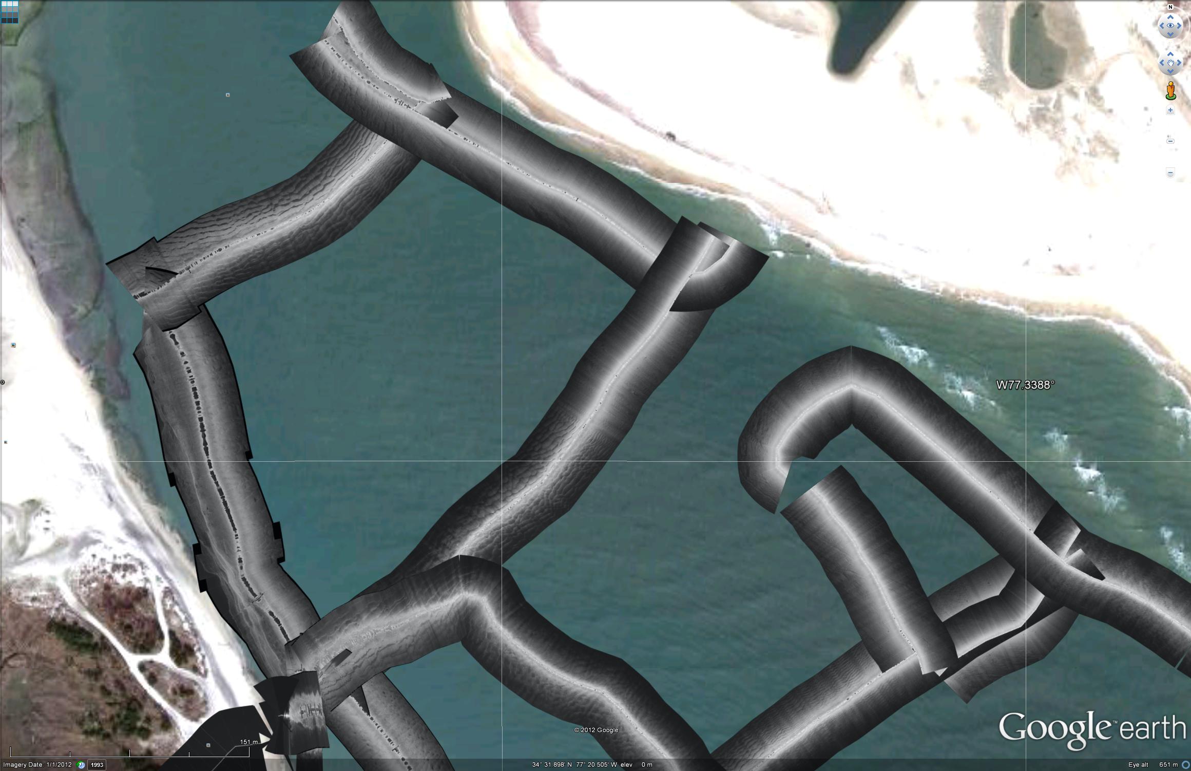
Since there has been a bit of discussion about bedforms recently I thought would post a kmz of sidescan imagery from May 5th. This survey started at the end of flood tide and the bedforms in the dredged channel were asymmetrical in flood oriented direction, by the end of the survey, 2 hrs later at the beginning off ebb tide flow, they had reversed asymmetry to ebb oriented.
The bedforms are generally bigger in the dredged channel on the southwest side of the inlet. This is especially noticeable in the inner portions of the inlet.
Not sure how to make post the images big enough here to see what is going on. Either click & download the images here or the kmz to see more detail


Here are some kmz’s
